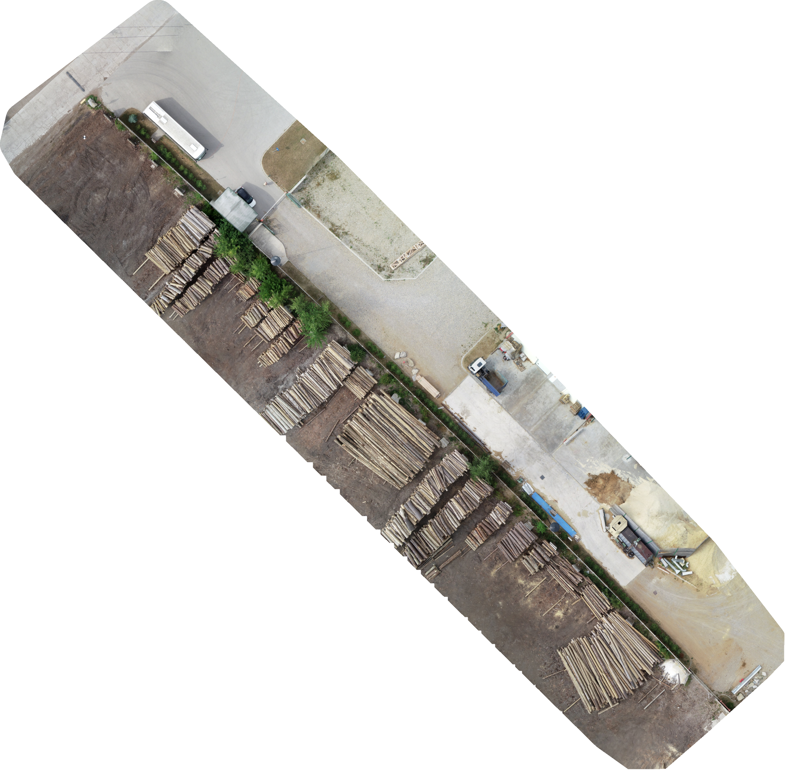
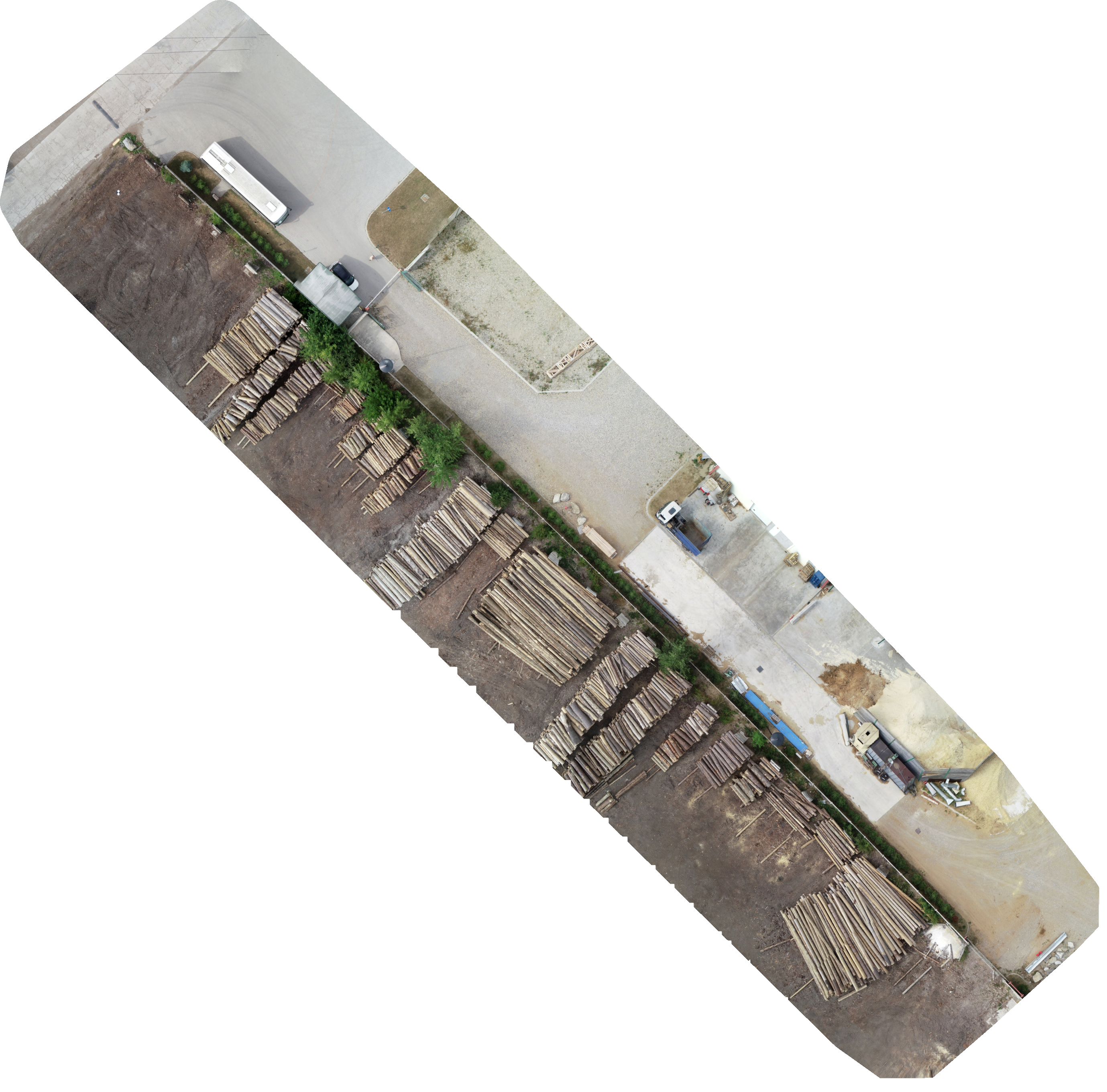
High-Resolution Data Capture, Ortho-mosaics with Ground Measurements (We fly the drone mission and collect data) – Price of this product is for Los Angeles County Missions
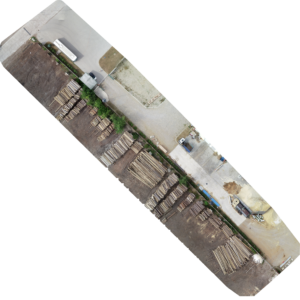
We Also Do Point Clouds. Example Here.
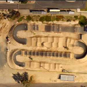
- High-Resolution Orthomosaics: Generate detailed, high-resolution orthomosaic images from drone-captured data for precise mapping and analysis.
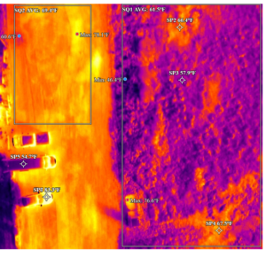
- Accurate Ground Measurements: Obtain reliable ground measurements directly from your orthomosaics, ensuring accurate data for planning and surveying.
- Advanced Aerial Imaging: Utilize cutting-edge drone technology to capture expansive areas with pinpoint accuracy, reducing time and cost compared to traditional methods.
- Customizable Output Formats: Receive orthomosaic images in various formats, including GeoTIFF and PNG, tailored to your specific project needs.
- Seamless Integration: Easily integrate our orthomosaic data with popular GIS and CAD software for enhanced project management and visualization.
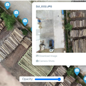
- Cloud Processing: Benefit from fast and secure cloud-based processing, allowing you to access your orthomosaics from anywhere, anytime.
- Comprehensive Reports: Access detailed reports that include not only orthomosaic images but also critical ground measurement data for informed decision-making.
- Scalable Solutions: Whether you’re working on a small plot or a large development, our service scales to meet the demands of any project size.
- Expert Support: Our team of experts is available to assist you throughout the process, ensuring you get the most out of your orthomosaic data.
- Cost-Effective Pricing: Competitive pricing that provides top-quality orthomosaic generation and ground measurement services without breaking the bank.
