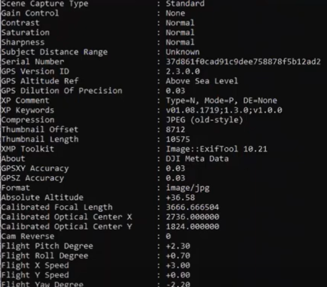
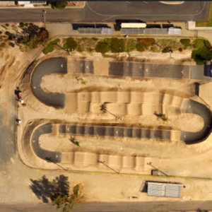
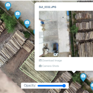
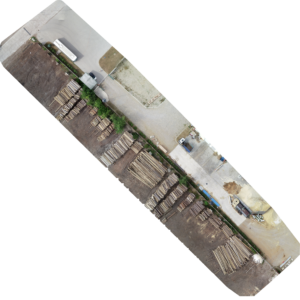
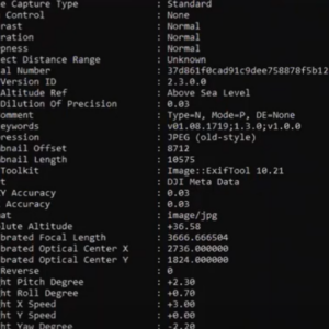
Our EXIF Data Photo/Data Analysis service is designed for drone operators who need to ensure their aerial images are precise and accurate. By analyzing the embedded metadata in your drone photos, we provide a comprehensive report on the quality and reliability of your data. This service is essential for professionals who require top-tier accuracy for surveying, mapping, or any other applications where precision is critical.
Key Features:
- Comprehensive EXIF Analysis: We thoroughly examine all EXIF metadata to verify key parameters such as GPS accuracy, altitude, camera settings, and more.
- Accuracy Verification: Ensure that your photos meet the required standards for your specific project by cross-referencing data points for consistency.
- Precision Reporting: Receive detailed reports highlighting any discrepancies or issues with your data, helping you avoid costly errors in your projects.
- Quality Assurance: Enhance your data’s reliability with our expert analysis, ensuring every photo meets industry standards.
- User-Friendly Interface: Upload and process your photos with ease through our intuitive platform, designed for both novice and experienced users.
Up to 100 Photos in this package. If you need more, please contact us here
