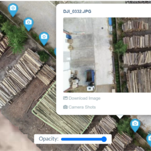
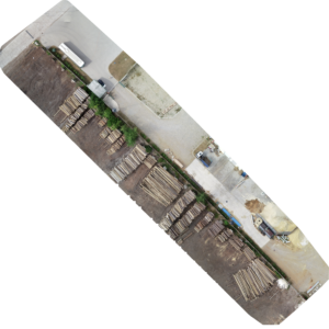
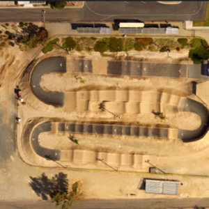
3D Photogrammetric Model, Flown, Images Captured, Model Produced for you with assets delivered to you and shareable map.
- Point Cloud
- Textured Model
- Textured Model (glTF)
We will fly the mission with high accuracy RTK Drone, Process Images, and Create Model
- 3D Map and Model Creation: We process your drone images to generate a 3D model from your images, providing a clear visual representation (digital twin) of your site or project.
- Accurate Results: Our techniques strive to achieve excellent quality 3D models, which are detailed and precise, reflecting the true characteristics of the area captured. (This will depend highly on the quality of your image captures as well)
- Interactive Exploration: View and interact with your 3D models to better understand the data from different perspectives.
- Timely Delivery: We aim to provide your 3D models within a reasonable timeframe, helping you stay on track with your projects.
- Data Integration: Models are delivered in formats that are compatible with commonly used software for easy integration into your workflow.
- Support Available: Our team is here to assist with any questions or technical issues you might encounter.
- Secure Handling: We ensure that your data is managed securely and with confidentiality.


