-
Sale!
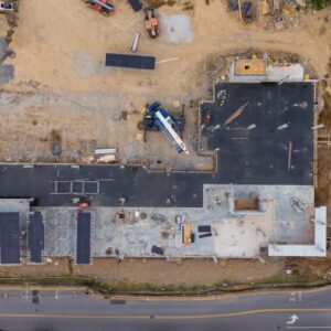
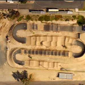
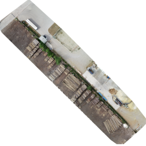
 Aerial Image Capture
100 High Resolution 20 Megapixel Aerial Drone Images
Original price was: $379.00.$319.00Current price is: $319.00. Add to cart -
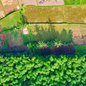
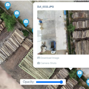
 Aerial Image Capture
1000 High Resolution Aerial Drone Images (Real Estate, Construction, Events, Etc)
$599.00 Add to cart -

-

-
-

-
-
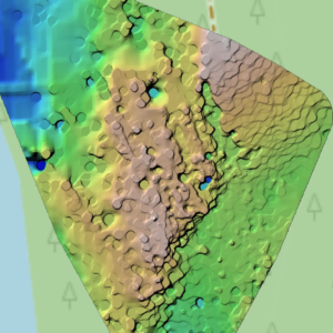
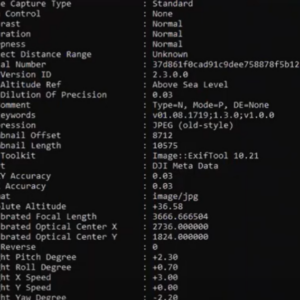
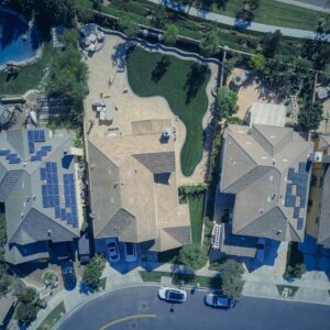
 Data Processing, Analysis, and Mapping
High-Resolution Data Capture, Ortho-mosaics with Ground Measurements (We fly the drone mission and collect data)
$499.00 Add to cart -
 Data Processing, Analysis, and Mapping
High-Resolution Ortho-mosaic Photo Generation with Ground Measurements (Your Data: Up to 200 Images You Provide)
$399.00 Add to cart -
-
-
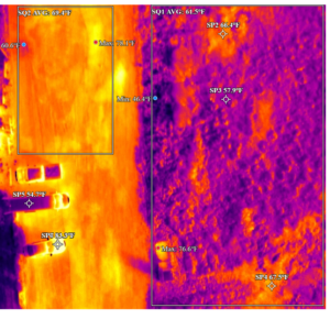 Data Processing, Analysis, and Mapping
Thermal Processing Analysis Deliverables (Either Give Us Your Data or We Collect It)
$599.00 Add to cart
-
-
-
-
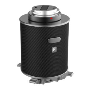
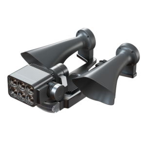 Enterprise Drone Hardware
CZI LP35 Searchlight and Broadcasting System for Matrice 350
$3,699.00 Add to cart -
-
-
Sale!
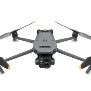
 Enterprise Drone Hardware
DJI Mavic 3 Enterprise Series RTK Module
Original price was: $709.00.$659.00Current price is: $659.00. Add to cart